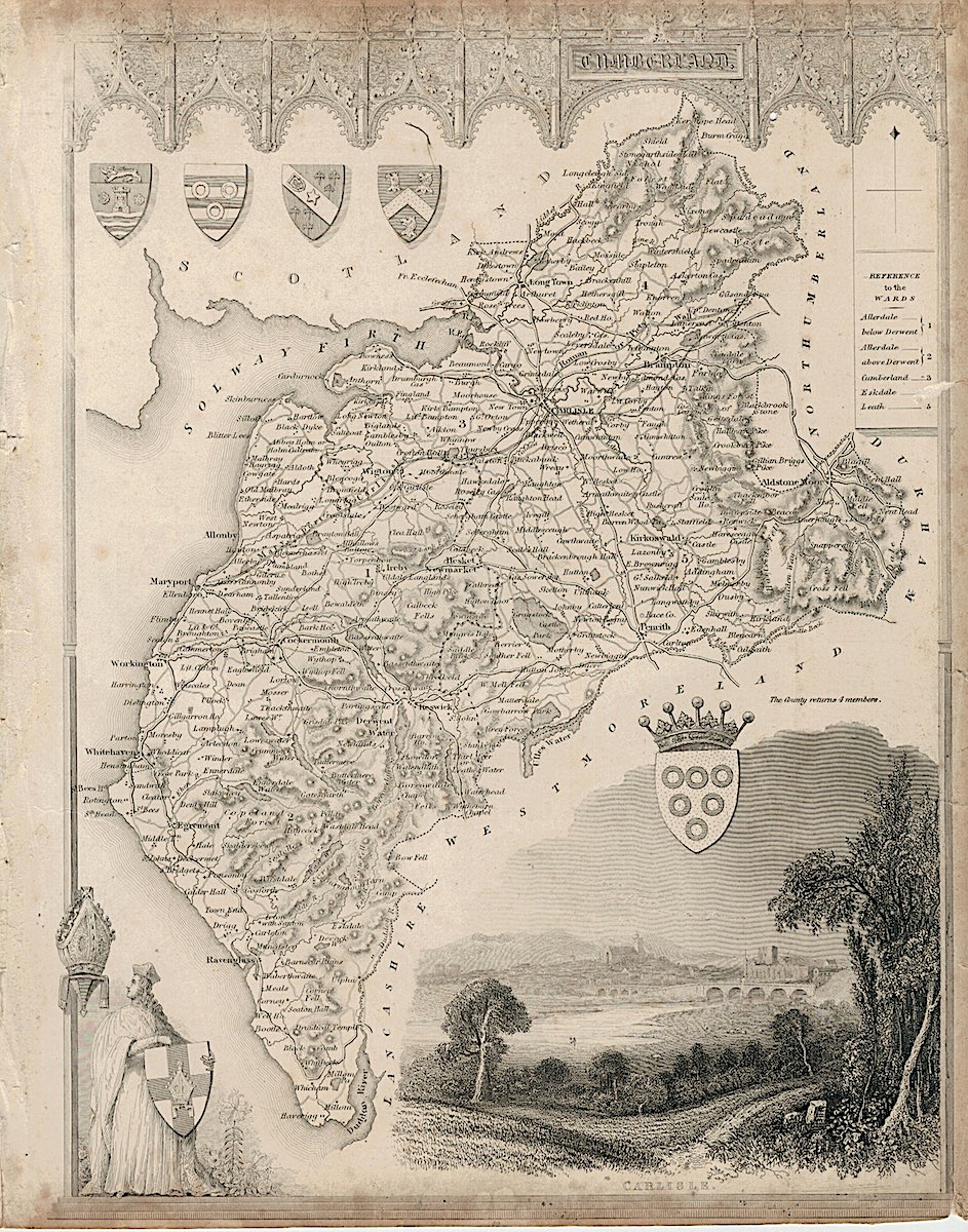
Description
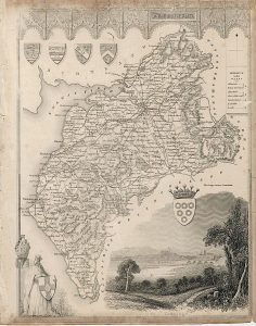
Antique Engraving Print Map, Cumberland, Thomas Moule, c.1850, credit Antiche Curiosità©
Antique Engraving Cumberland decorative early Victorian map of the county showing the railways. The map is embellished with a large vignette view of Carlisle, figure with a shield and five coats of arms. Gothic pillars and arches frame the map. cm. 26,5 x 22. Uncoloured. 1850.
From Barclay’s Dictionary


