

Description
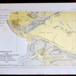
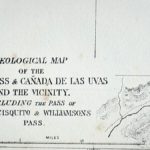
Antique Geological Map, Tejon pass & Canada, 1855, Credit Antiche Curiosità©
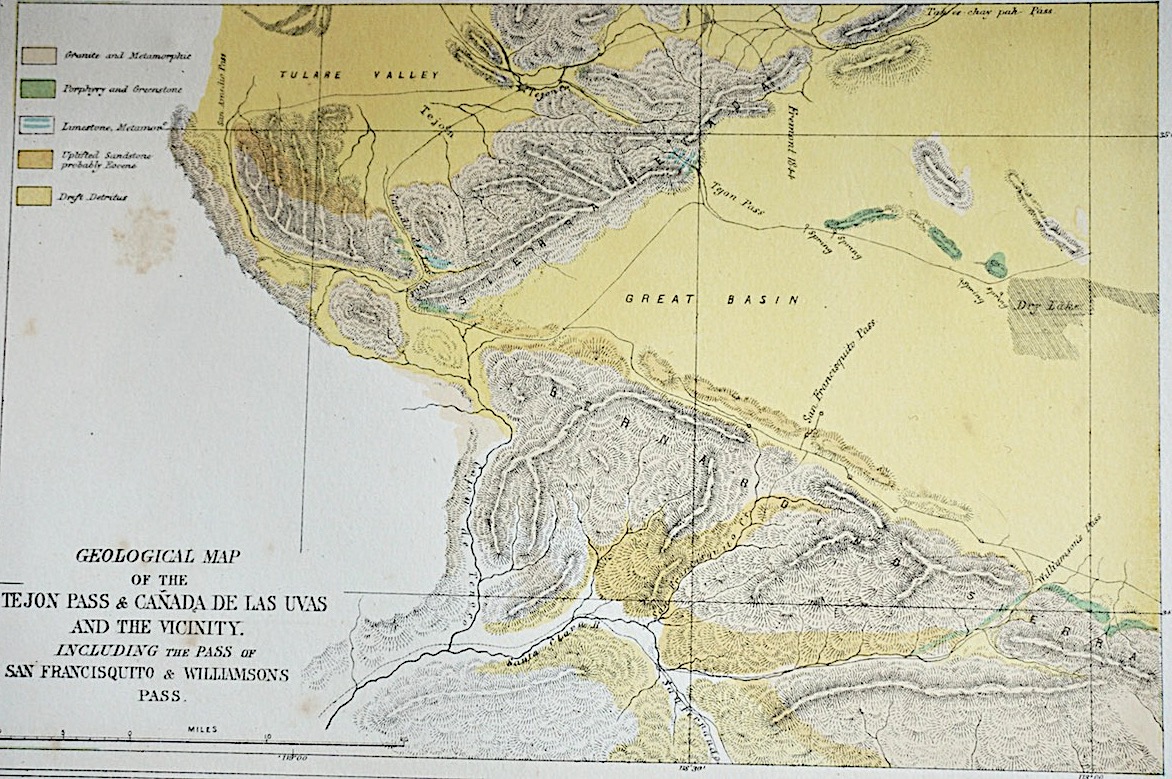
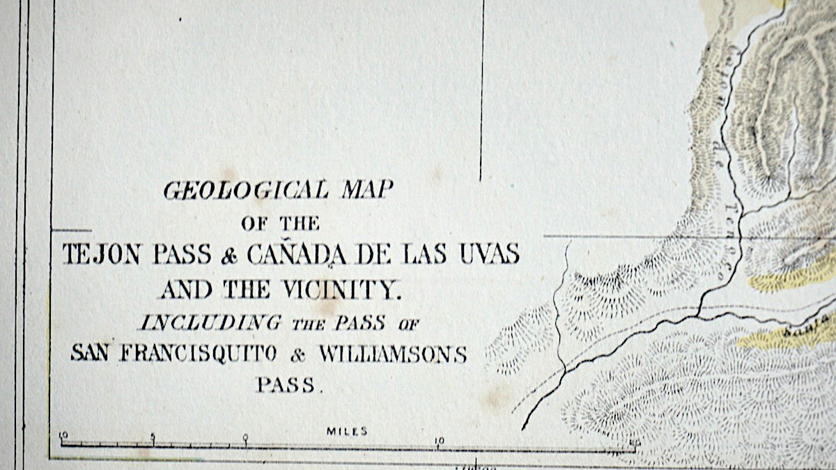
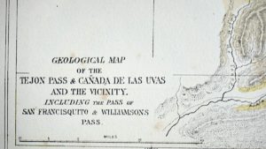
Antique Geological Map of the Tejon Pass & Canada de Las Uvas and the Vicinity. Including the Pass of San Francisquito & Williamson’s Pass, cm. 27 x 20. Perfect conditions.
We Sell Guaranteed Absolutely Original authentic Maps, Prints, Books and Vintage items
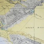
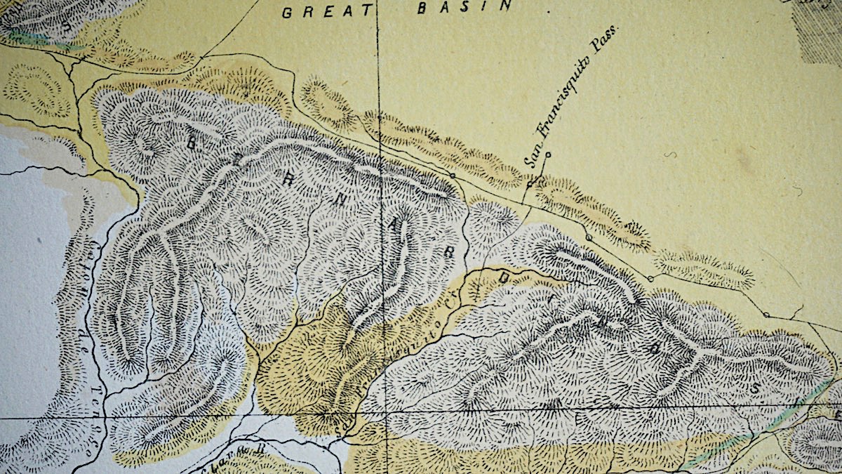
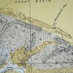
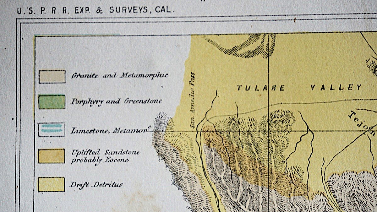
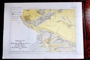
Detailed geological map of the region immediately North of Los Angeles, colored by geological features. The map appeared in the 12 Volume United States Pacific Railroad Survey.
A geologic map or geological map is a special-purpose map made to show geological features. Rock units or geologic strata are shown by color or symbols to indicate where they are exposed at the surface. Bedding planesand structural features such as faults, folds, foliations, and lineations are shown with strike and dip or trend and plunge symbols which give these features’ three-dimensional orientations.
Stratigraphic contour lines may be used to illustrate the surface of a selected stratum illustrating the subsurface topographic trends of the strata. Isopach maps detail the variations in thickness of stratigraphic units. It is not always possible to properly show this when the strata are extremely fractured, mixed, in some discontinuities, or where they are otherwise disturbed.
In the United Kingdom the term geological map is used. The UK and Isle of Man have been extensively mapped by the British Geological Survey (BGS) since 1835; a separate Geological Survey of Northern Ireland (drawing on BGS staff) has operated since 1947.
Two 1:625,000 scale maps cover the basic geology for the UK. More detailed sheets are available at scales of 1:250,000, 1:50,000 and 1:10,000. The 1:625,000 and 1:250,000 scales show both onshore and offshore geology (the 1:250,000 series covers the entire UK continental shelf), whilst other scales generally cover exposures on land only.
Sheets of all scales (though not for all areas) fall into two categories:
-
Superficial deposit maps (previously known as solid and drift maps) show both bedrock and the deposits on top of it.
-
Bedrock maps (previously known as solid maps) show the underlying rock, without superficial deposits.
The maps are superimposed over a topographic map base produced by Ordnance Survey (OS), and use symbols to represent fault lines, strike and dip or geological units, boreholes etc. Colors are used to represent different geological units. Explanatory booklets (memoirs) are produced for many sheets at the 1:50,000 scale.
Small scale thematic maps (1:1,000,000 to 1:100,000) are also produced covering geochemistry, gravity anomaly, magnetic anomaly, groundwater, etc.
Although BGS maps show the British national grid reference system and employ an OS base map, sheet boundaries are not based on the grid. The 1:50,000 sheets originate from earlier ‘one inch to the mile’ (1:63,360) coverage utilising the pre-grid Ordnance Survey One Inch Third Edition as the base map. Current sheets are a mixture of modern field mapping at 1:10,000 redrawn at the 1:50,000 scale and older 1:63,360 maps reproduced on a modern base map at 1:50,000. In both cases the original OS Third Edition sheet margins and numbers are retained. The 1:250,000 sheets are defined using lines of latitude and longitude, each extending 1° north-south and 2° east-west.
https://en.wikipedia.org/wiki/Geologic_map
Reviews
There are no reviews yet.